

Precision in every dimension
Discover how 3D mapping and models from Last Action Drone Services transform your projects from concept to reality. We go beyond visuals, providing a crucial single source of truth for real estate and engineering, ensuring accuracy and eliminating guesswork.

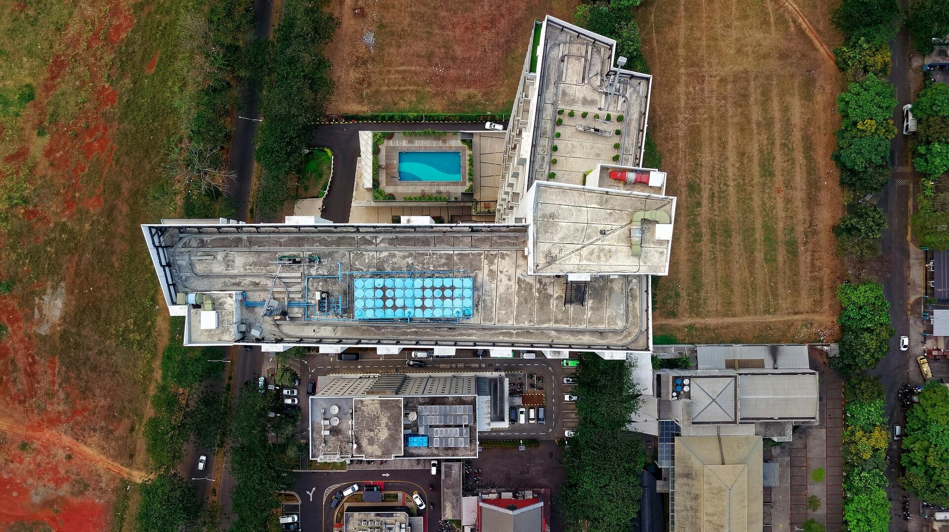
Beyond aesthetics: your business's single source of truth
Stop viewing 3D models as mere marketing novelties or static visuals. For real estate and engineering, the true return on investment of 3D mapping—whether through photogrammetry or digital twins—is its ability to provide accurate spatial data that eliminates guesswork. Our models are critical tools for informed decision-making, offering precision and reliability that transforms your operations.

Vital insights for insurance adjusters and restoration contractors
When major disasters like fires, floods, or hurricanes strike, quickly assessing damage is paramount. Instead of adjusters walking dangerous, compromised structures with tape measures, our drones and handheld scanners capture the entire property in minutes. This creates an unalterable, comprehensive 3D record for claims processing, allowing restoration crews to accurately estimate material costs without manual measuring.
Your vision, precisely captured
At Last Action Drone Services, we are committed to understanding and achieving your exact imaging requirements. We strive to capture the precise images you want as a client, ensuring our 3D mapping and models directly address your project needs. Our dedicated approach guarantees unique benefits, delivering tailored solutions that set your projects apart.