

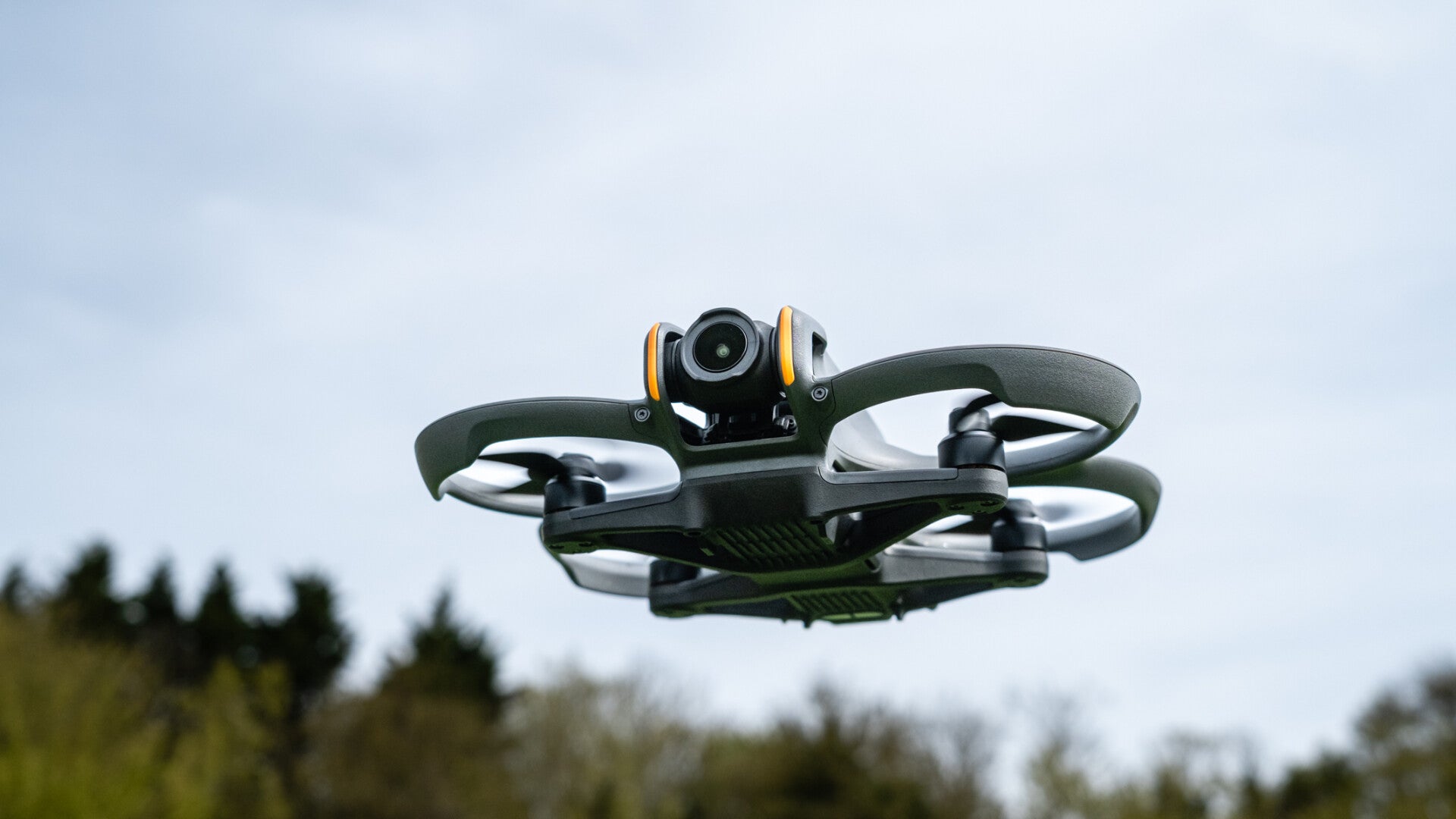
Elevate your vision with Last Action Drone Services
Discover the unparalleled capabilities of drone photography and thermal systems for realtors and engineering projects in Tennessee, Kentucky and beyond. We bring a new perspective to your needs.
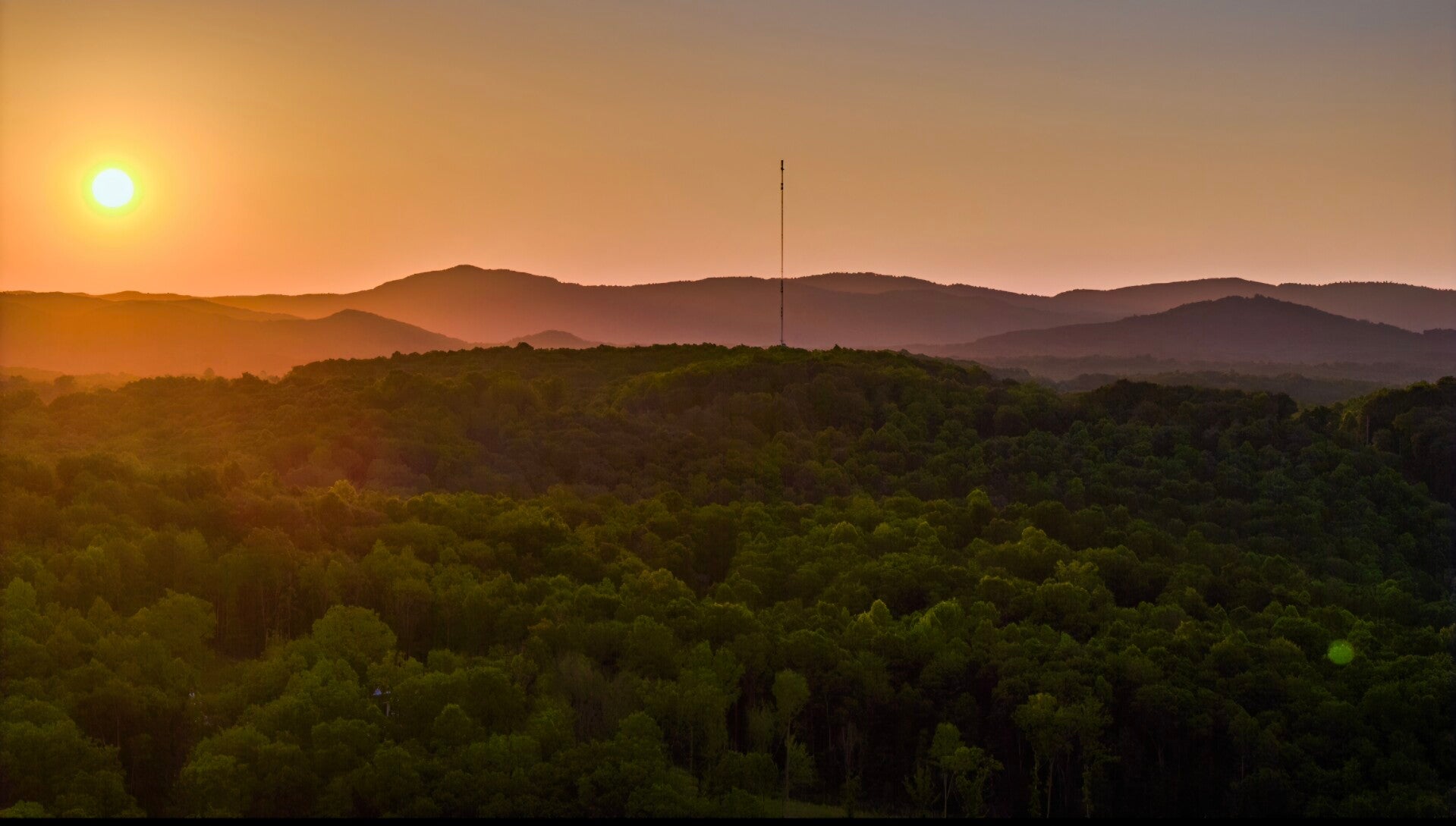
Precision and perspective from above
Thermal Downed Game Retrieval
Retrieving downed game can be a challenging task, especially in diverse terrains and weather conditions. One effective method that has gained popularity among hunters is thermal downed game retrieval. This technique utilizes thermal imaging technology to locate and recover animals that have been shot but may not be down completely.
Exploring Thermal and FPV Drone Capabilities
Drones have revolutionized various industries with their advanced capabilities, particularly in thermal imaging and first-person view (FPV) technology. Thermal drones are equipped with infrared cameras that detect heat signatures, making them invaluable for applications such as search and rescue, building inspections, and wildlife monitoring. These drones can operate effectively in low-light conditions, allowing users to identify temperature variations and locate subjects that are otherwise hidden from view. On the other hand, FPV drones provide a unique flying experience by transmitting real-time video feeds to the pilot's goggles or screen. This immersive capability enhances aerial photography, racing, and recreational flying, offering users the sensation of being in the cockpit. Both thermal and FPV drones have distinct advantages, making them essential tools in their respective fields, whether for professional use or hobbyist enjoyment. As technology continues to advance, the integration of these capabilities is likely to expand, opening new avenues for innovation and application.
Thermal imaging devices detect heat emitted by living organisms, allowing hunters to spot their downed game even in low-light conditions. This capability is particularly useful during early morning or late evening hunts when visibility is limited. By scanning the area with a thermal scope or camera, hunters can identify the heat signature of their game, making it easier to track and retrieve the animal efficiently.
In addition to improving recovery rates, thermal downed game retrieval can also enhance safety. By clearly identifying the location of the downed animal, hunters can avoid unnecessary wandering in potentially hazardous terrain, reducing the risk of injury. Furthermore, this technology minimizes the time spent searching for the game, allowing hunters to focus on other aspects of their outing.
When employing thermal imaging for game retrieval, it's essential to familiarize yourself with the device's settings and capabilities. Different models offer varying levels of sensitivity and range, so understanding how to maximize your equipment is crucial. Additionally, practicing with the device in different environments can help you become more proficient in its use, ensuring that you are prepared when it matters most.
Overall, thermal downed game retrieval represents a significant advancement in hunting technology. By leveraging the power of thermal imaging, hunters can improve their efficiency, enhance safety, and ultimately enjoy a more successful hunting experience.
Last Action Drone Services utilizes cutting-edge drone technology to provide high-quality aerial photography and advanced thermal imaging. Whether you're a realtor looking for stunning property visuals or an engineer needing detailed thermal analysis, our drones deliver accuracy and efficiency.
Our specialized drone services
We offer tailored drone solutions to meet the specific demands of the real estate and engineering industries. Explore our core services below.
Drone photography for real estate
Capture breathtaking aerial views that showcase properties like never before. Our high-resolution images and videos help realtors attract more buyers and stand out in the competitive market.
Thermal imaging for Engineering and more
Identify critical heat signatures and structural issues with our advanced thermal drone inspections. Essential for infrastructure assessment, energy audits, and preventative maintenance in engineering projects.
FPV ACTION VIDEO AND PHOTOS
See the quality of our work firsthand. Our portfolio features a diverse range of projects demonstrating our expertise in aerial photography and thermal imaging across various applications.
Custom packages & pricing
Every project is unique. We offer flexible pricing and customizable packages to ensure you get the exact drone services you need, tailored to your budget and specific requirements.
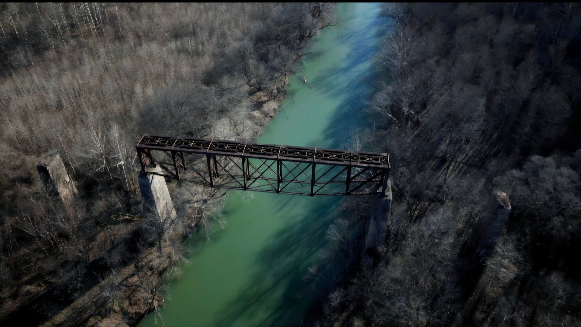
About Last Action Drone Services
Based in Oneida, Tennessee, Last Action Drone Services is a new business dedicated to providing innovative drone solutions. We are committed to delivering exceptional aerial photography and thermal imaging services, helping our clients achieve their project goals with efficiency and clarity.
See the world from a new perspective
Our drones provide a unique vantage point, revealing details and beauty often missed from the ground. Experience the clarity and insight that only aerial perspectives can offer.

"Professional, efficient, and truly exceptional results. Highly recommend their drone services for any project."
Get in touch with us
Our headquarters
Last Action Drone Services
Oneida, Tennessee, United States
423-577-9270
Lastactiondrone@gmail.com
https://www.lastactiondrone.com